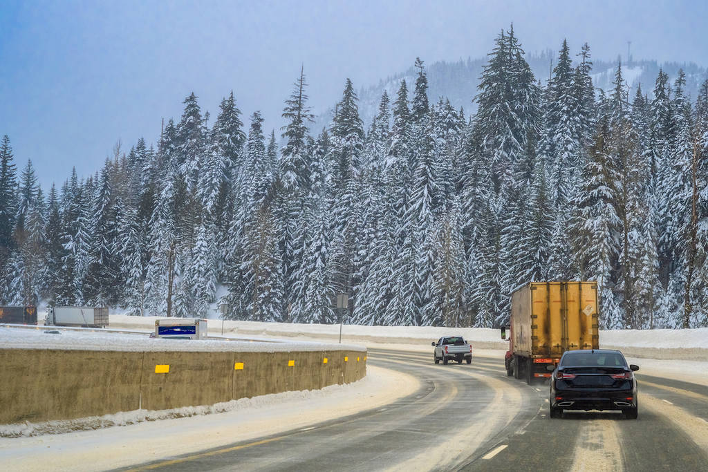
A rare blizzard warning has been issued in Western Washington as strong winds and heavy snowfall hit the Cascade and Olympic mountain ranges. The National Weather Service Seattle warned that travel conditions through the mountains will be “extremely difficult” due to these weather conditions.
There is no snowfall in the Seattle area yet, but current forecasts are calling for potential snow this Friday and Saturday. Read more about the Seattle snow forecast here.
The blizzard warning is in effect from 4:00 a.m. Tuesday morning through 10:00 a.m. Wednesday. You can view a map of the exact areas in Western Washington that are affected. Note that the NWS defines a blizzard as the following conditions happening for over three hours:
- Blowing snow
- 35+ MPH winds
- Less than 1/4 mile visibility
A post shared on the The Washington State Department of Transportation (WSDOT) Instagram warned that, “it’s not just the mountain passes that are seeing snow,” citing snowfall in other part of Western Washington such as the higher elevations of the Olympic Peninsula. WSDOT is also reporting “lots of debris, trees, power lines and standing water” on roadways due to strong winds.
While the mountains are under this blizzard warning, the Seattle area is under a wind advisory until 10:00 p.m. tonight. As of late Tuesday morning, around 3,000 Seattleites have been affected by a power outage according to Seattle City Light. Meanwhile, SDOT has shared that traffic in both directions on Highway 99 in SODO has been blocked due to downed power lines.
We’ll update this post with any developments. In the meantime, stay home if you can. If you must drive, be sure to check road conditions and traffic before setting out and keep an eye out for road crews at work.